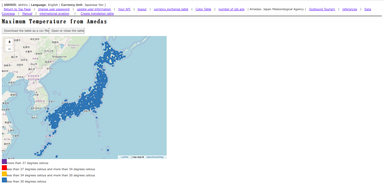
This page shows place names, maximum temperatures, and world grid square code at each observation point to be announced by the Japan Meteorological Agency. If you click [Download the table as a csv file], data can be retrieved as a CSV file. If you click [Open or close the table], the data table is displayed.
How to use
If you click on the square that represents each major city, the highest temperature, elevation will be shown in a pop-up window. If you click
the clickable city name in the pop-up window, you can open the data
retrieval screen centered on that location.