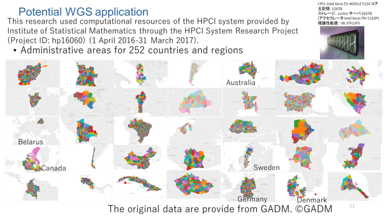
MESHSTATS can currently provide four types of basic world grid square statistics and data such as 2015 GADM administrative area, Land Usage: National
2013 Global LandCover 15 sec. angle (500m) by Mapping Organization (GLCNMO)
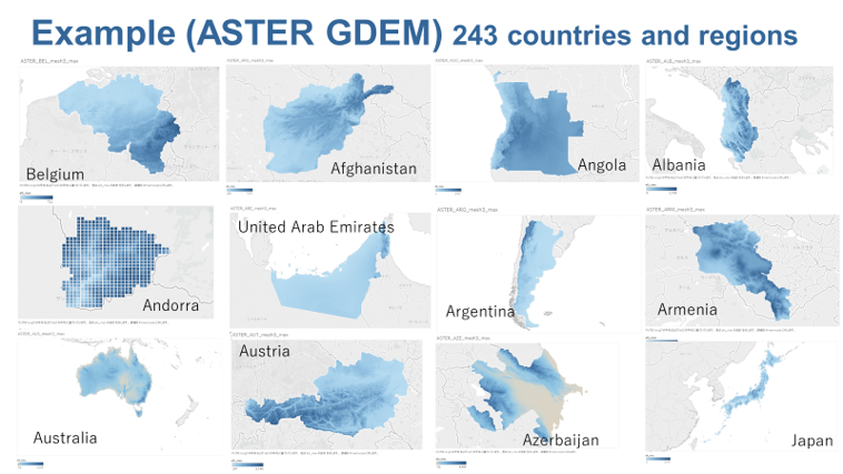
(version 3) (c)GLCNMO, elevation: (c) METI ASTER global numerical
elevation model (GDEM) third-level world grid square statistics created
from (30m x 30m), night-time light intensity: 2012 NASA Night-Time
Light Intensity 24-Second Angular Image Data (c) NASA, and Tsunami
Hazard: Estimation from past 1000-year NOAA tsunami run-up data and
JAXA digital surface model constructed by ALOS (Daichi) World 3D.
The data coverage displays a list of country and the number of
thrid-level world grid square statistcs available in MESHSTATS.
The list includes country code (ISO3166), country or region name,
major city name, and the available number of third-level world grid
square statistics in each basic dataset.
How to use
A clickable link for main cities is provided with their goegraphic
location. If you click it, then the data retrieval screen at a centered
location of the selected city will be displayed .